Map of this blog's locations click this link to open the map
We had a couple more days before the expected rains were to move into the area. A friend from back home suggested a park not too far from us on the north side of town. We started the day at the Japanese Tea Garden. This is a very nice park with meticulously maintained gardens and even a 60 foot tall waterfall.
 |
| Entrance Originally Stated Chinese Tea Garden |
 |
| Beautiful Building |
 |
| Overlooking Ponds |
 |
| Cafe at the Gardens |
 |
| Waterfall and Pond |
We even managed to do a few geocaches while we walked the grounds. One of them was quite entertaining. It is called Japanese Tea Garden Intercache. An intercache is a type of puzzle or mystery cache where the container is not hidden at the posted coordinates. To complete an intercache, you need a smart phone (or tablet) and use a web browser that connects to this intercache. It describes the history of this location as it directs you around the grounds to different locations. At each location, you need to answer a question that can be answered by reading a sign or simply observing the surroundings.
 |
| Impressive Stonework |
 |
| Colorful Foliage |
We then headed next door to Brackenridge Park. The drive into the park had us drive across the San Antonio River - not on a bridge. Fortunately the water level was no more than a foot, so we had no problems. We enjoyed out picnic lunch at a table and watched people come and go. The park has lots of trails and we did a bit of walking and caching. From there, we headed to Oblate School of Theology. NO, I didn't sign up for any classes or programs! There was a geocache we wanted to do there. We walked around the grounds and checked out the big grotto.
 |
| One of Art Towers at Brackenridge Park |
 |
| Grotto at Oblate School of Theology |
The next day we decided to do a bit more strenuous activity and try a trail south of town. This is another situation where the map I was using did not show the area as anything special - not shaded light green like most parks. But there were a string of geocaches not near any particular road. A little investigation turned up the Medina River Natural Area and Greenway Trail. It is located along the Medina River but not near any town. The trail is 6.5 miles long, so found a parking area near the middle of the trail and headed there with the mountain bikes. We were expecting a dirt or gravel trail or maybe an old abandoned road. What we found was a concrete path, at least eight feet wide - for the whole length of the trail!
 |
| Entrance to Medina River Greenway |
It turns out to be an ADA compliant trail, but since it is kind of in the middle of nowhere, it wasn't clear why it was put there. Don't get us wrong, it was a nice trail with lots to see along the way and plenty of geocaches, but since there is no town anywhere along it, the trail seemed out of place. There is a Toyota truck plant nearby, so maybe they put the trail in?
 |
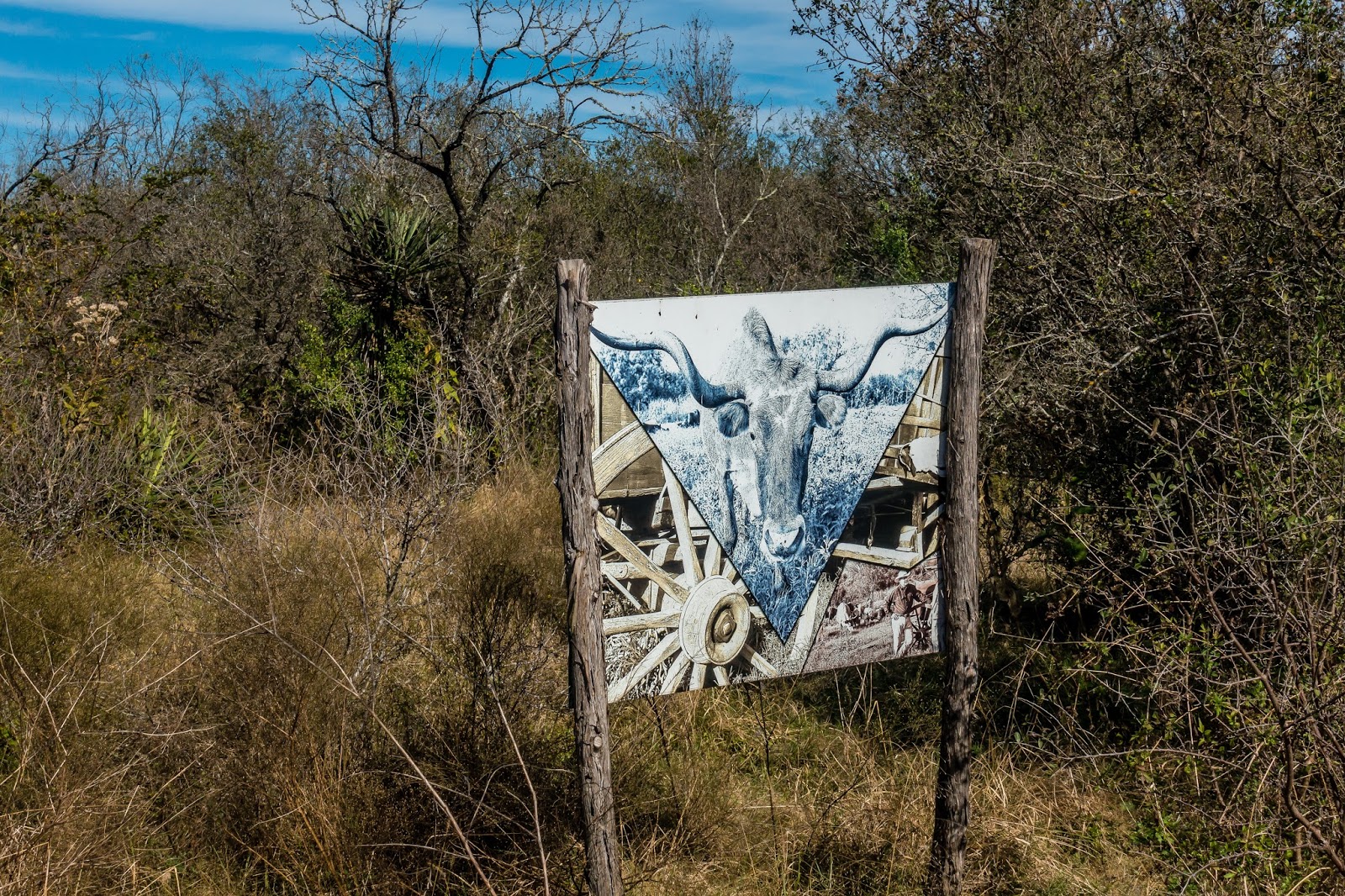
| Unexpected Artwork Along Trail |
 |
| Old Water Tower on Ranch Next to Trail |
It was well marked with signs, and maps along the way. Since this is hill country, there were some good ups and downs an being wheel chair accessible, there were quite a few switchbacks to handle the grade. Even so there were a few that I don't expect somebody in a wheelchair to attempt. In fact, many of them Chris walked her bike up and on one she walked it down.
 |
| One Set of Hairpin Curves |
 |
| Markers Every Quarter Mile |
The next day (Friday) was going to be when the rain moved in to the area. We tried to get in a round of disc golf at Universal City Park but only made it 3 holes before the rain started. We ran a few errands at a nearby mall and had lunch at a Mexican place called Chuy's. We had eaten at one up in Austin a couple years ago, and this one was every bit as good. If you ever find yourself in range of one of their several restaurants, we highly recommend it.
Chris finally decided to get a data plan for her iPad mini. We had originally thought she would go with AT&T since I use Verizon. This would give us flexibility when Verizon coverage was poor. But after a bit of research, she went with a T-Mobile plan. Coverage won't be as good as AT&T but the plan allows for video/music streaming without going against your data usage when there is coverage.
The rest of the weekend was pretty much solid rain. Lots of it. With parts of I-10 being closed from time to time. We pulled out on Sunday morning and it is the first time in years since I needed to packup in pouring rain.


No comments:
Post a Comment