In the middle of March last year, we stopped near the town of Eloy Arizona about halfway between Phoenix and Tucson. Picacho Peak State Park is located there. We weren't able to get into the state park then because there was a civil war reenactment going on and the campgrounds were booked. We had stayed at a private campgrounds less than a mile away so it was very convenient to visit the park. This year we knew we were spending the whole month of March in Tucson and needed to work our way in that direction so we were able to reserve a spot in the park about a month in advance. We were drawn back to the area so check out the hiking in the park more thoroughly. Last year I was feeling a bit under the weather during our stay here so we couldn't do all we wanted to. This year we plan on rectifying that situation.
As we finished up our RV weighing session at North Ranch in Congress, we were talking with George and asking him about the best route from there to Eloy through Phoenix. His response was "I wouldn't drive through Phoenix even on a Saturday!" His suggestion was to head down to I-10 but head west a dozen miles and take Arizona 85 south to Gilda Bend and I-8. This route is about 25 miles longer but will avoid all the traffic and delays through Phoenix. We stopped in Gila Bend across the road from Holt's Travel Center to have lunch since we had some time to kill prior to checking in at Picacho Peak. I headed over to check the place out since it isn't just your typical truck stop. They have numerous large metal dinosaur sculptures scattered about the property. There is a small RV park behind the station that looks like it could work for us during some future trip.


 |
| Bird Finds Precarious Resting Spot |

We made it to the campgrounds and found the sites are quite large. They have both pull thru and back in sites. Our back in site was paved and long enough to easily park the Jeep in front of the rig while also being wide enough to park on the side of the motorhome. The sites are electric only but have 50 and 30 amp connections. We are only here for five nights so will have no issue with the fresh water or waste tanks. They do have nice restrooms with showers that work pretty well.
We head out early (for us!) our first morning to do the hike we wanted to do last year. The peak at Picacho Peak is a very pronounced mountain that stands out from the surrounding landscape. In fact it is easily visible for 30 or more miles while driving along I-10. There are two different trails that head up to the actual peak at 3374 feet - the Hunter trail and the Sunset Vista trail. Both options come together part way up the hike and continue the last half mile or so to the actual peak. We picked the slightly longer Sunset Vista option with a 6.2 mile total and just over 1600 foot elevation.
We drive the couple miles from our campsite to the trailhead. We realize we don't need to make this hike, which is rated as hard, any harder than needed by hiking from the campgrounds. The Sunset Vista trail starts out as a simple desert hike on the backside (west) of the mountain. As we go along, we don't gain much elevation. Even after about two miles, we have only done a few gradual ups and downs as we go through washes. We realize this means the bulk of the elevation is yet to come. We pass a solo hiker coming back and ask when the real climb starts and he guesses in a tenth mile or so. He was right. We hit the steeper terrain with lots of switchbacks that really gets the blood flowing. As the terrain gets even steeper, we hit sections where half inch steel cables are anchored into the rock walls. We knew that was coming so we stop to put on our gloves and lash our hiking poles to our packs. Initially the cables gave us a bit of reassurance allowing us to hold on when the footing was difficult.
 |
| Approaching the Steep Section of Hike |
 |
| Trail Sign Points the Way |
 |
| Waiting on Two Others Coming Down |
 |
| Chris Starts Up! |
 |
| Looking Back Down |
 |
| Sign at Intersection of Trails |
 |
| Watching Somebody Head Down After I Came Up |
 |
| Section with Bridge for Footing |
 |
| View over Interstate 10 |

 |
| Our Campground from Last Year |
 |
| Here's a Tough Spot |

 |
| Backwards Over the Edge! |
 |
| Others Behind Me |
 |
| Long Way to Desert Floor |
 |
| Looking Back After Climb with Moon Rising |
 |
| Our Actual Track from the Hike at Picacho Peak |
 |
| Along the Trail at Tortolita Preserve |
 |
| Development Next to Preserve |
 |
| HUGE Saguaro |
As we exit the building, an employee explains what we are supposed to do. The miniature donkeys in the nearby pen spot us and all jostle for position. The every few feet around the pen is an opening just big enough for one head to fit through. Since there are more of them than there are openings near us - currently the only feeders, they push and shove. Those not getting a spot put their heads up high and open their mouths wide hoping we will pity them and toss some pellets in. Each type of animal has a different "technique" required to feed them. For the donkeys, the pellets go in the palm of your hand and they lick it out very gently.
 |
| Looking for Food |
 |
| Toss It My Way! |
 |
| This Donkey was Named Smiley |
 |
| Next Group of Feeders Arrive |
 |
| Chris Makes Friends |
 |
| Guess Who is Just Off Camera? |
 |
| Goat Penthouse and Feeding Conveyor |
 |
| The Gang is Ready for Food |
 |
| Two Heads are Better Than One |
 |
| Stretch For It |
 |
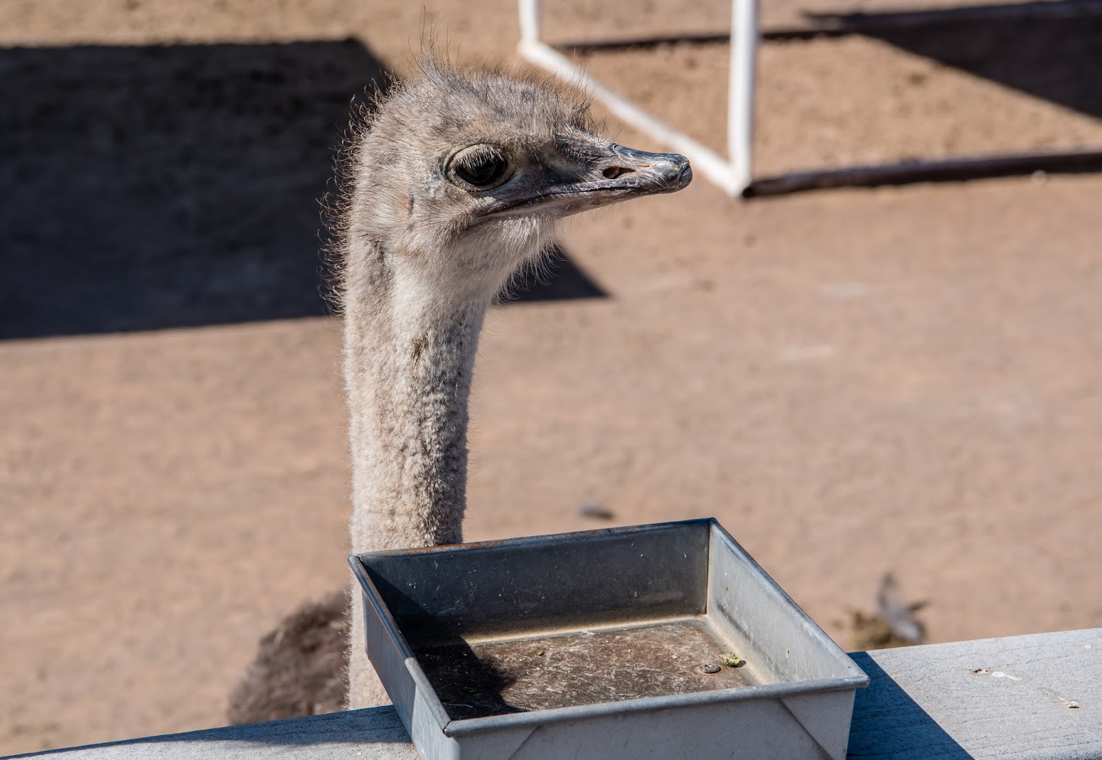
| Attentive Ostriches |
 |
| Don't Get Too Close Chris! |
 |
| Waiting at Feed Tray |
 |
| Feeding the Sheep |
 |
| Come This Way |
 |
| Watching from Above |
 |
| Chris Makes a Goat Happy |
 |
| Pushing and Shoving Rabbits |
 |
| Chris Isolates One Rabbit |
 |
| Ducks Fight for Position |
 |
| Chris' Hand (on right) Reluctantly Moves In |
 |
| Parakeets Work Quickly on Stick |
 |
| Parakeets Up Close |
 |
| Chris Attract Two Lorikeets |
 |
| Pose for the Camera |
 |
| MOOR! |

 |
| Perched on My Arm |
 |
| Waiting for More |
 |
| A Stingray Comes In to Investigate a Hand |
 |
| Our Docent Explains the History of Casa Grande |
 |
| Protective Roof |
 |
| Crumbling Walls |
 |
| This Corner is Missing |